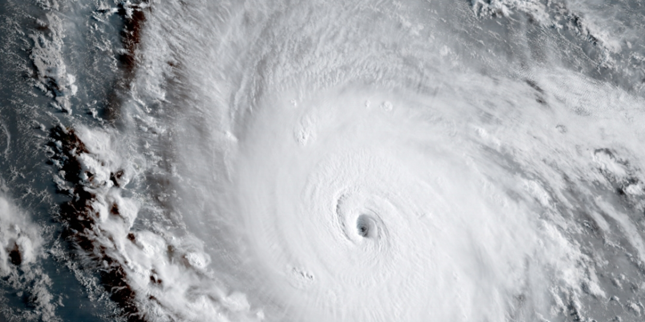
Hurricane Irma, which has been sweeping through the Antilles and Porto Rico since September 5, is expected to reach the American East Coast this weekend. Listed as a category five hurricane, Irma is the most powerful hurricane which has ever been recorded in this area for several decades.
In order to make all satellite tools available to rescue services and to contribute to locate and map affected areas, the International Charter “Space and Major Disasters”, co-founded by https://fscience-old.originis.fr/wp-content/uploads/2023/06/GLOC_Oslo_Norway_S2_27juillet2022_web-2-1.jpg and ESA in 2000, has already been activated three times to provide assistance to impacted populations. Activated twice on September 5 over the Antilles, another activation of the Chart – the 550th since its creation in 2000 and the 33rd in 2017 – has been decided over Florida on September 6.
More than twenty satellites of the Chart are mobilized: optical satellites for damage identification (damaged houses, facilities and roads…) as well as radar satellites for floods. The two Pléiades satellites are currently programmed to take images of each area requested by the Chart users. The first Pléiades images should be available from September 8, depending on weather conditions.


