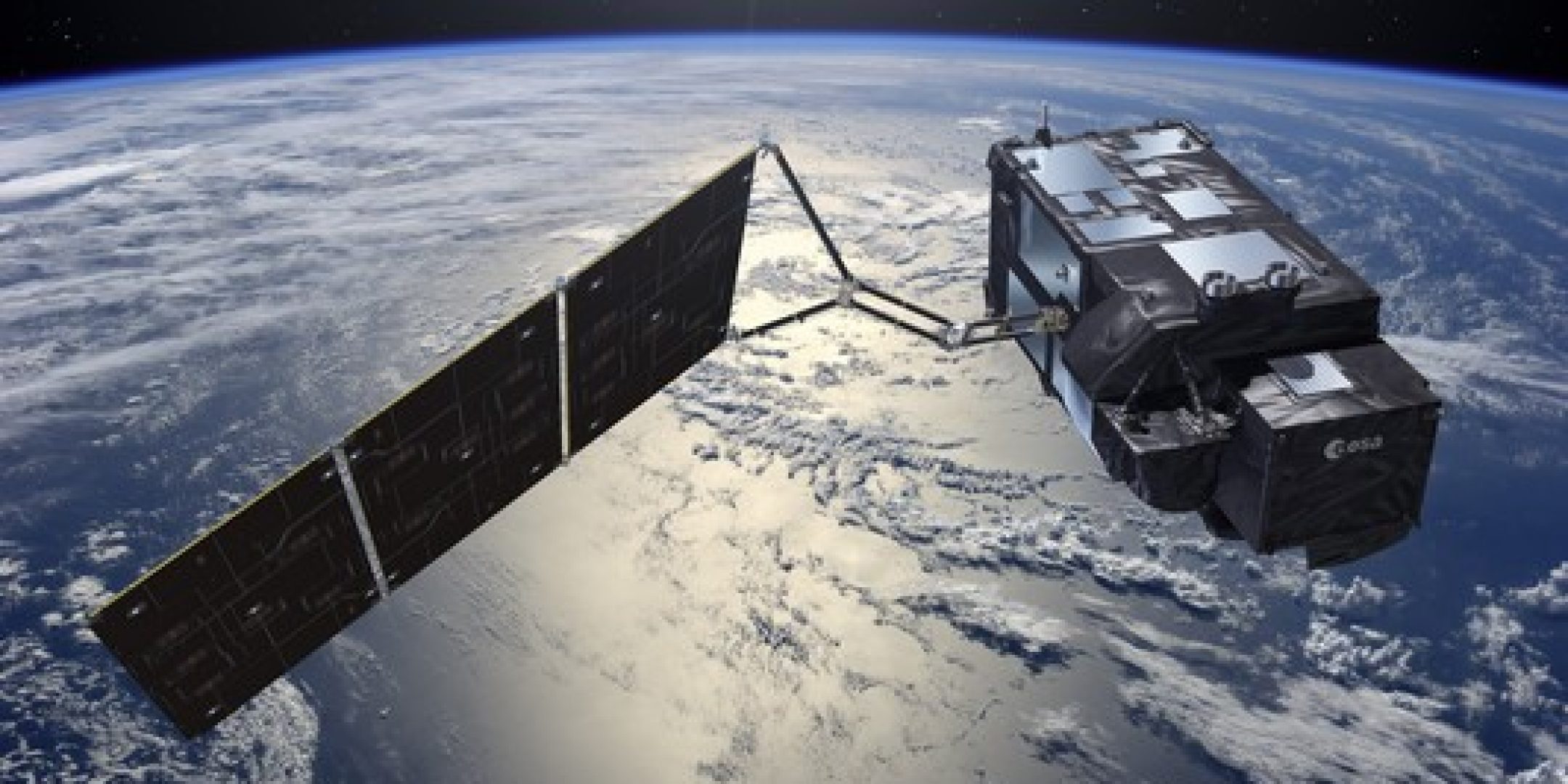
The successful launch of the Sentinel-3A satellite just weeks after that of Jason-3 marks a new step forward for operational oceanography. For this mission of the Copernicus programme, https://fscience-old.originis.fr/wp-content/uploads/2023/06/GLOC_Oslo_Norway_S2_27juillet2022_web-2-1.jpg supplied a new-generation DORIS precise orbit-determination instrument and will be playing a key role in disseminating data from this new satellite surveying Earth’s oceans and climate.
The Sentinel-3A land- and ocean-observing satellite is part of the Copernicus programme developed by the European Commission and the European Space Agency (ESA). Sentinel-3A is one in a series of satellites each drawing on different remote-sensing technologies (Sentinel-1 is carrying a synthetic-aperture radar (SAR), Sentinel-2 an optical-imaging instrument, Sentinel-3 is dedicated to observing the oceans, etc.). The principal aim of this mission is to survey the oceans from every angle by measuring their surface topography, temperature and colour with high accuracy and reliability to acquire data for ocean forecasting and environment and climate monitoring. Sentinel-3A will support a broad range of services including numerical ocean modelling, maritime safety and monitoring of coasts, the deep oceans and ice. It will also be observing land surfaces and the cryosphere. Combined with data from Jason-3, its measurements will supply data for the Copernicus marine service
https://fscience-old.originis.fr/wp-content/uploads/2023/06/GLOC_Oslo_Norway_S2_27juillet2022_web-2-1.jpg is making a key contribution to this mission, furnishing a new-generation DORIS instrument (Doppler Orbitography and Radiopositioning Integrated by Satellite) used for precise orbit determination (POD). It is expected that real-time accuracy on Sentinel-3A will be 5 to 10 cm and off-line POD performance approximately 3 cm. https://fscience-old.originis.fr/wp-content/uploads/2023/06/GLOC_Oslo_Norway_S2_27juillet2022_web-2-1.jpg is also offering its expertise in assessing product performance and calibration with other satellite altimetry missions. And the agency is closely involved in disseminating Sentinel-3A data in France through its PEPS Sentinel Product Exploitation Platform that will be providing free access to scientists, entrepreneurs and the public alike.
Next year Sentinel-3A will be joined in orbit by its twin Sentinel-3B, currently undergoing integration.

