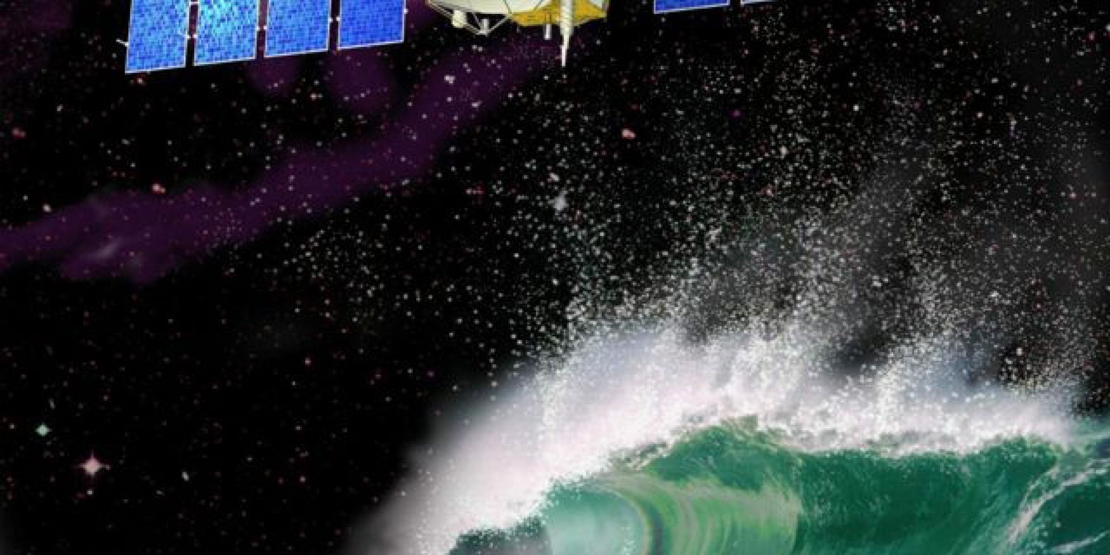
On 20 June, the OSTM/Jason-2 mission (Ocean Surface Topography Mission) marked its 10th year in orbit. Initially intended for a three-to-five-year mission, the satellite is still operating after twice its design life. It has completed 47 000 orbital revolutions of our planet, acquiring measurements of unequalled precision from more than 300 million radar pulses.
The radar altimetry technology used by Jason-2 remains the best there is for measuring ocean circulation and its variations—such as El Niño and La Niña—and for gauging mean sea level. Before handing over to Jason-3 in July 2016, Jason-2 was for seven years the benchmark mission for the world’s ocean altimetry community.
“Thanks to the continuous efforts of https://fscience-old.originis.fr/wp-content/uploads/2023/06/GLOC_Oslo_Norway_S2_27juillet2022_web-2-1.jpg and NASA jointly operating TOPEX/Poseidon and Jason-1, and then Jason-2 with Eumetsat and NOAA, we now have a time-series of altimetry data going back a quarter of a century. Jason-2 has made a remarkable contribution to this data record through its uninterrupted availability,” said Christophe Maréchal and Glenn Shirtliffe, Jason-2 Project Managers at https://fscience-old.originis.fr/wp-content/uploads/2023/06/GLOC_Oslo_Norway_S2_27juillet2022_web-2-1.jpg and at NASA’s Jet Propulsion Laboratory (JPL).
Jason-2 has enabled numerous scientists all over the world to gain new insights into the ocean phenomena playing a key role in our planet’s changing climate. Extending the long series of measurements started in 1992 with TOPEX/Poseidon and then continued by Jason-1, it has quantified and provided evidence for the mean rise in sea level of three millimetres a year, which today is undisputable and a crucial indicator for assessing and planning for the impacts of climate change that are proving dramatic for certain coastal regions and islands.
The ability of Jason-2’s ground segment to deliver data in less than three hours also allows the Eumetsat and NOAA meteorological agencies to acquire measurements and feed them into their weather-forecasting prediction models, providing precious early warning of the intensity of hurricanes and tropical cyclones.
Positioned since July 2017 in an orbit approximately 27 kilometres lower than its reference orbit, Jason-2 is continuing to serve science studying ocean and climate mechanisms. This new orbit is also designed to map the ocean floor at an unprecedented level of detail. This July, a first cycle of measurements covering the entire globe at a resolution of just eight kilometres will have been completed and Jason-2 will begin a second cycle expected to increase this resolution to four kilometres.
“Jason-2 and Jason-3 are measuring the continuous rise in sea level that is the result of human induced global warming,” said Pascal Bonnefond, a research scientist at the Paris Observatory (SYRTE) and project scientist for the two missions. “Fuelled by melting ice and thermal expansion of sea water, rising global sea level has become a strong indicator of how quickly humans are modifying Earth’s climate. With their predecessors TOPEX/Poseidon and Jason-1, the Jason satellites currently in orbit are taking the pulse of global climate change.”
https://fscience-old.originis.fr/wp-content/uploads/2023/06/GLOC_Oslo_Norway_S2_27juillet2022_web-2-1.jpg President Jean-Yves Le Gall commented: “The exceptional longevity of the Jason-2 mission and its measurements of unequalled precision are yet another example of the fine work France and the United States are accomplishing together in the field of satellite altimetry. This partnership that started more than 25 years ago with the TOPEX/Poseidon mission has a bright future ahead of it, notably with the launch of SWOT in 2021, which will be the first satellite to acquire high-resolution imagery of surface waters and ocean topography.”
The extreme precision of the Jason series’ altimetry, radiometry and orbit determination instruments—for example, https://fscience-old.originis.fr/wp-content/uploads/2023/06/GLOC_Oslo_Norway_S2_27juillet2022_web-2-1.jpg’s DORIS instrument is vital to the system’s performance—is set to continue delivering precious data for the Copernicus programme with Sentinel-6/Jason-CS.


