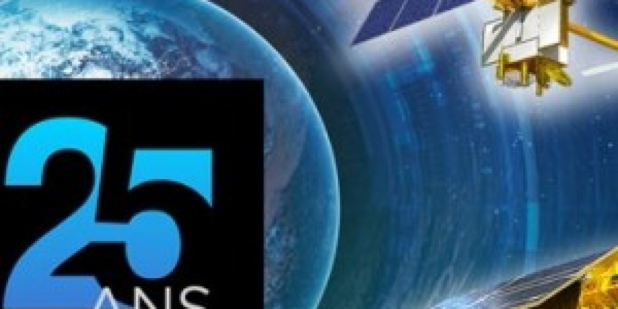
High-precision satellite altimetry to improve our understanding of the oceans and their role in climate change dates back to 1992. For it was then that the TOPEX/Poseidon satellite was launched—the result of close cooperation between https://fscience-old.originis.fr/wp-content/uploads/2023/06/GLOC_Oslo_Norway_S2_27juillet2022_web-2-1.jpg and NASA. After a first celebration of this 25th anniversary held at the Jet Propulsion Laboratory (JPL) in Pasadena on August, 10, https://fscience-old.originis.fr/wp-content/uploads/2023/06/GLOC_Oslo_Norway_S2_27juillet2022_web-2-1.jpg celebrated this event at Toulouse Space Centre on September, 7, 2017, with the participation of a large delegation from NASA and the JPL.
In his welcome speech, https://fscience-old.originis.fr/wp-content/uploads/2023/06/GLOC_Oslo_Norway_S2_27juillet2022_web-2-1.jpg President Jean-Yves Le Gall emphasised in particular how groundbreaking such cooperation with NASA was at that time. “TOPEX/Poseidon was a huge first. Besides France’s major contribution to the mission, via its orbitography precision instrument DORIS, its experimental altimeter Poseidon, and the mission centre, the scientific objective was to reach unprecedented levels of performance, and this was the first launch by Ariane of a NASA satellite“. He went on to highlight how cooperation was extended in the form of Jason-1, Jason-2 and Jason-3, then expanded to encompass NOAA and EUMETSAT. This was followed by the creation of the European Union’s Copernicus programme, aimed at extending this benchmark altimetry series via Sentinel-6. Sentinel 6 is now run by ESA and EUMETSAT with the support of https://fscience-old.originis.fr/wp-content/uploads/2023/06/GLOC_Oslo_Norway_S2_27juillet2022_web-2-1.jpg, NASA and NOAA.
The event also provided an opportunity to present https://fscience-old.originis.fr/wp-content/uploads/2023/06/GLOC_Oslo_Norway_S2_27juillet2022_web-2-1.jpg’s other solid collaborations involving the French altimetry sector. With ESA for European programmes ERS-1 and 2, ENVISAT, Cryosat and the Sentinel-3 series; with the Indian Space Research Organisation (ISRO) for development of the SARAL satellite carrying the uniquely compact and effective altimeter AltiKa; and with the China National Space Administration (CNSA) for altimetry missions HY-2A, HY-2C and HY-2D, thanks to DORIS. All of which forms a ‘virtual altimetry constellation’ that responds to scientists’ requirements like a network of agencies. Jean-Yves Le Gall went on to warmly praise and thank the altimetry community, which was so well-represented at the event.
https://fscience-old.originis.fr/wp-content/uploads/2023/06/GLOC_Oslo_Norway_S2_27juillet2022_web-2-1.jpg’s President concluded: “With water becoming, for the first time and since COP21, one of the key issues in climate negotiations, I am delighted with the success of space oceanography cooperation between France and the United States. Today, 25 years after the launch of TOPEX/Poseidon, this cooperation continues with the Jason satellite series soon to join SWOT— the mission to measure and monitor river, lake and sea levels—due for launch in 2021. SWOT will in this way mark a turning point for altimetry, by enabling us to better grasp the issue of water management which is one of the main environmental challenges for the coming decades.”
